Iowa Conservationists Call For More Flooding Protection Funding
Related Images:… Read more ›
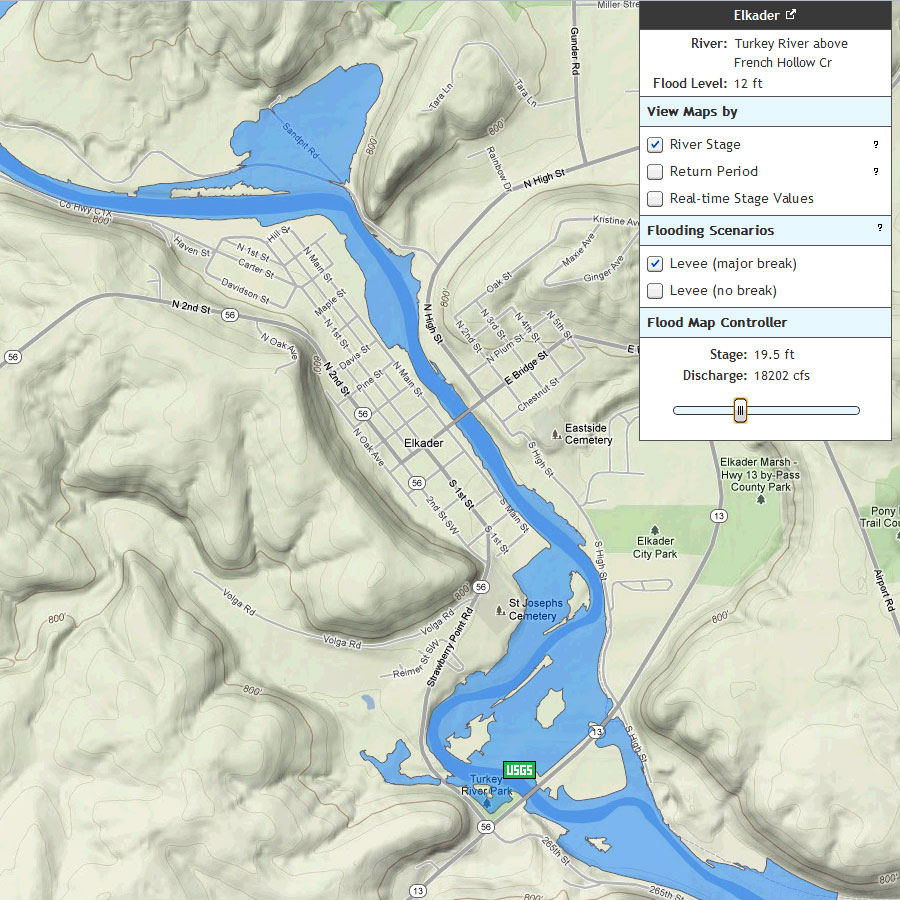
During recent flood events, many Iowans have found it difficult to relate flood forecast information to risks within their community. To help translate flood forecasting information into an easy-to-use format, the Iowa Flood Center is developing flood inundation maps for select Iowa communities.
IFC researchers are creating physics-based computer models to predict how a flood wave travels through urban floodplains. These high-resolution models can illustrate the extent of flooding under different conditions allowing Iowans to see how predicted flood levels could affect their property, and in turn helping them make informed decisions.… Read more ›
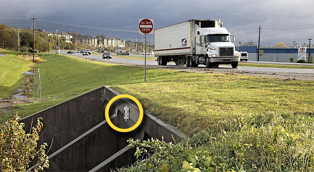
Two Eleven new bridge sensors, which use sonar to detect the height of water under a bridge and automatically relay that information over the cell phone network, have been installed on the Turkey and Volga Rivers (also Crane Creek, Roberts Creek, Little Turkey RIver, and Otter Creek). The sensors were built by students at the Iowa Flood Center at the University of Iowa toprovide real-time stage data that can be used by emergency personnel in Clayton and Fayettte counties.… Read more ›