New Flood Forecasting Tools Available for the Turkey River Watershed
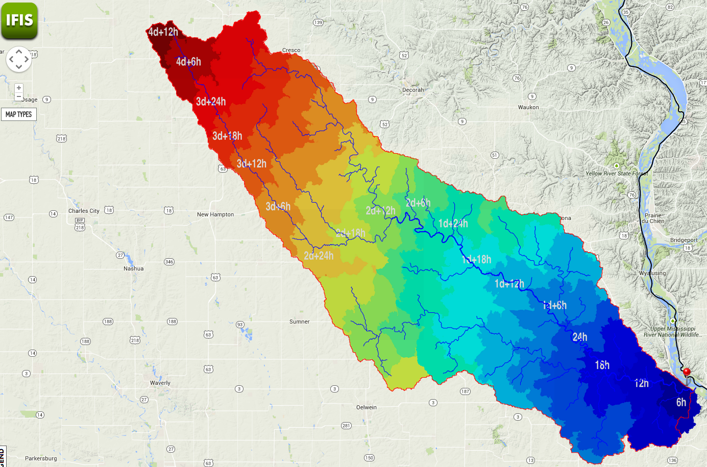
Tuesday April 7th 2015, staff from the Iowa Flood Center and IIHR in Iowa City put on a training for new flood forecasting tools available for the Turkey River Watershed. The web-based tool is called the Iowa Flood Information System or IFIS. Some of the tools available through IFIS, such as stream gauge information, have been available for a couple of years but the Iowa Flood Center has recently added some new tools to help people anticipate and prepare for flooding. The Turkey River Watershed has specific tools available such as estimated travel times from different points in the watershed and rain drop tracker. The tools specifically available to the for the Turkey River Watershed can be found by following this url – http://ifis.iowafloodcenter.org/ifis/ifis10/sc/turkeyriver . The general IFIS website can be found here – IFIS – or by following the link on our homepage.
The National Weather Service has traditionally been charged with flood forecasting and warning across the US and will continue to do so. In Iowa, we are fortunate to have additional information from the Iowa Flood Center to compliment the NWS forecasts. With both forecasts available, emergency crews should have ample information when needing to make critical decisions about the potential for flood conditions.